| Item Detail |
| |
| |
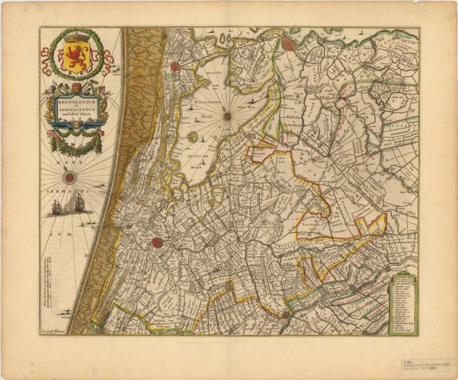
MapMaker: |
Willem Blaeu
|
|
| |
| |
Subject: |
Netherlands |
|
| |
Period/Size: |
1639 / 16.0" x 19.5" (40.7 x 49.6 cm)
|
|
| |
Color: |
Colored
|
|
| |
Condition: |
(B+ ) There is some very light text show-through and a few edge tears confined to the blank margins. An ownership label is adhered to the lower right corner, well away from the image. (condition help) |
|
| |
Source: |
|
|
| |
References: |
|
|
| |
|
|
| Sales Information |
| |
| |
Price: |
|
|
| |
| |
Offered by: |
Old World Auctions |
|
| |
Catalog: |
Auction No. 141 - Antique Maps, Charts, Atlases & Globes (9037) |
|
| |
Lot/Item #: |
437 |
|
| |
| |
Date: |
09/2012
|
|
| |
| |
|