| Item Detail |
| |
| |
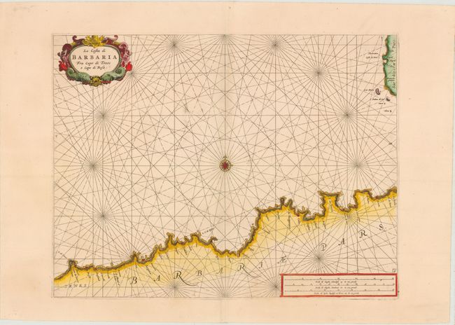
MapMaker: |
Francesco Maria Levanto
|
|
| |
| |
Subject: |
Northern Africa - Barbary Coast |
|
| |
Period/Size: |
1664 / 15.5" x 20.3" (39.4 x 51.6 cm)
|
|
| |
Color: |
Colored
|
|
| |
Condition: |
(B+ ) Wide margins on watermarked paper with a few spots of printer's ink residue and a hint of toning along centerfold. (condition help) |
|
| |
Source: |
Prima Parte dello Specchio del Mare… |
|
| |
References: |
Shirley (BL Atlases) M.LEV-1a, #6. |
|
| |
|
|
| Sales Information |
| |
| |
Price: |
|
|
| |
| |
Offered by: |
Old World Auctions |
|
| |
Catalog: |
Auction No. 141 - Antique Maps, Charts, Atlases & Globes (9037) |
|
| |
Lot/Item #: |
695 |
|
| |
| |
Date: |
09/2012
|
|
| |
| |
|