| Item Detail |
| |
| |
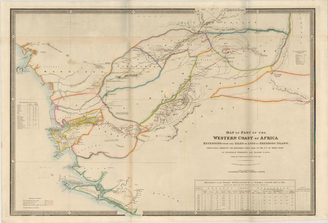
MapMaker: |
James Wyld
|
|
| |
| |
Subject: |
Western Africa |
|
| |
Period/Size: |
1860 / 25.0" x 36.8" (63.5 x 93.5 cm)
|
|
| |
Color: |
Colored
|
|
| |
Condition: |
(B+ ) Issued folding with original color and minor soiling and a few short tears in blank margins. There is light toning along folds, and several folds have been reinforced on verso with canvas strip. (condition help) |
|
| |
Source: |
|
|
| |
References: |
|
|
| |
|
|
| Sales Information |
| |
| |
Price: |
|
|
| |
| |
Offered by: |
Old World Auctions |
|
| |
Catalog: |
Auction No. 141 - Antique Maps, Charts, Atlases & Globes (9037) |
|
| |
Lot/Item #: |
704 |
|
| |
| |
Date: |
09/2012
|
|
| |
| |
|