Title:
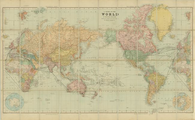
“A Chart of the World on Mercator's Projection Shewing the Principal Ocean Steam Routes, the Submarine Telegraphs &c”
Map Maker:
Edward Stanford
This very detailed map of the world on Mercator's ... (full text available to subscribers)
| Item Detail |
| |
| |
MapMaker: |
Edward Stanford
|
|
| |
| |
Subject: |
World |
|
| |
Period/Size: |
1900 / 24.6" x 43.8" (62.5 x 111.3 cm)
|
|
| |
Color: |
Colored
|
|
| |
Condition: |
(B ) The map is clean and bright with minor soiling and some ink notations in the image from a previous owner. Pocket case is lightly worn and sunned on the edges. (condition help) |
|
| |
Source: |
|
|
| |
References: |
|
|
| |
|
|
| Sales Information |
| |
| |
Price: |
|
|
| |
| |
Offered by: |
Old World Auctions |
|
| |
Catalog: |
Auction No. 142 - Antique Maps, Charts, Atlases & Globes (9038) |
|
| |
Lot/Item #: |
49 |
|
| |
| |
Date: |
12/2012
|
|
| |
| |
|
Antique Maps - Valuation and Pricing, Descriptions, Resources |
|
Home |
Information |
Search |
Register |
Contact Us |
Site Map
Americana Exchange, Inc. © 1999 - 2024 Americana Exchange, Inc.. All rights reserved.
OldMaps.com, the OldMaps.com logo and
AMPR are service marks or registered service marks of Americana Exchange, Inc..
|