| Item Detail |
| |
| |
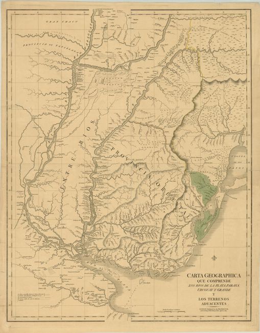
MapMaker: |
George Cary
|
|
| |
| |
Subject: |
Uruguay, Argentina, Brazil and Paraguay |
|
| |
Period/Size: |
1827 / 29.7" x 23.5" (75.5 x 59.7 cm)
|
|
| |
Color: |
Colored
|
|
| |
Condition: |
(B+ ) Original color on watermarked paper with a few short centerfold separations that have been archivally repaired and a faint damp stain along centerfold at right. There are a few short tears in blank margins that have also been archivally repaired, (condition help) |
|
| |
Source: |
|
|
| |
References: |
|
|
| |
|
|
| Sales Information |
| |
| |
Price: |
|
|
| |
| |
Offered by: |
Old World Auctions |
|
| |
Catalog: |
Auction No. 142 - Antique Maps, Charts, Atlases & Globes (9038) |
|
| |
Lot/Item #: |
382 |
|
| |
| |
Date: |
12/2012
|
|
| |
| |
|