| Item Detail |
| |
| |
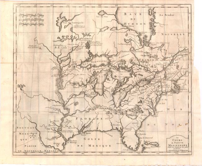
MapMaker: |
Jean Frederic Bernard
|
|
| |
| |
Subject: |
Colonial United States and Canada, Great Lakes |
|
| |
Period/Size: |
1737 / 14.6" x 17.2" (37.1 x 43.7 cm)
|
|
| |
Color: |
Black & White
|
|
| |
Condition: |
(B+ ) The map has some light printer's ink residue, a few minor spots, and a binding trim and associated small binding tear at right that has been archivally repaired. Text is clean and tight while the covers and spine show some minor wear. (condition help) |
|
| |
Source: |
Recueil de Voiages au Nord |
|
| |
References: |
McCorkle #737.1; Goss #46. |
|
| |
|
|
| Sales Information |
| |
| |
Price: |
|
|
| |
| |
Offered by: |
Old World Auctions |
|
| |
Catalog: |
Auction No. 142 - Antique Maps, Charts, Atlases & Globes (9038) |
|
| |
Lot/Item #: |
124 |
|
| |
| |
Date: |
12/2012
|
|
| |
| |
|