| Item Detail |
| |
| |
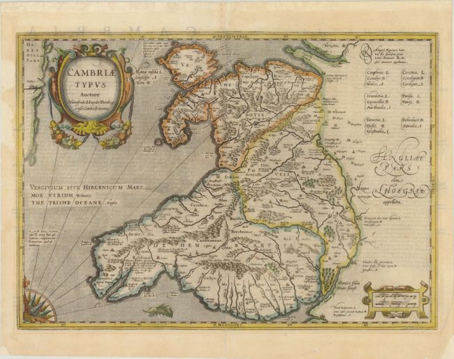
MapMaker: |
Jodocus Hondius
|
|
| |
| |
Subject: |
Wales |
|
| |
Period/Size: |
1610 / 13.7" x 19.3" (34.8 x 49.1 cm)
|
|
| |
Color: |
Colored
|
|
| |
Condition: |
(B+ ) There is light show-through of text on verso, a professionally repaired centerfold separation that enters 2" into map at top, and some chips and tears in blank margins that have been archivally repaired. There is a 2" tear to the left of the title (condition help) |
|
| |
Source: |
Mercator's Atlas |
|
| |
References: |
|
|
| |
|
|
| Sales Information |
| |
| |
Price: |
|
|
| |
| |
Offered by: |
Old World Auctions |
|
| |
Catalog: |
Auction No. 142 - Antique Maps, Charts, Atlases & Globes (9038) |
|
| |
Lot/Item #: |
421 |
|
| |
| |
Date: |
12/2012
|
|
| |
| |
|