| Item Detail |
| |
| |
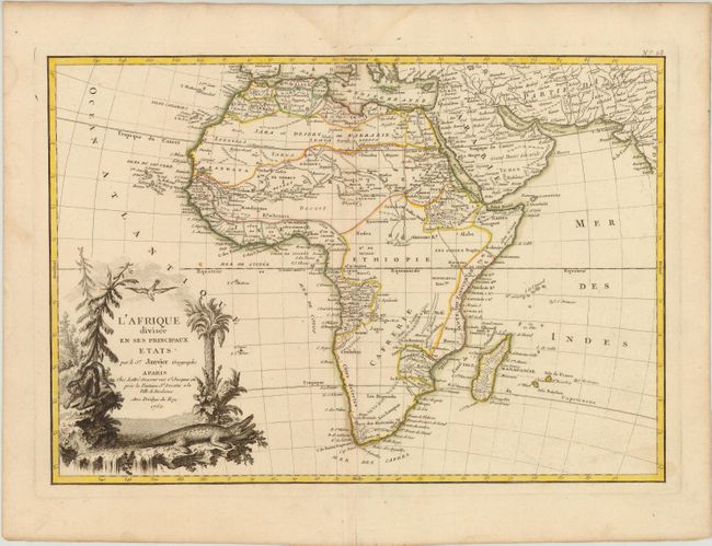
MapMaker: |
Janvier/Lattre
|
|
| |
| |
Subject: |
Africa |
|
| |
Period/Size: |
1762 / 12.0" x 17.2" (30.5 x 43.7 cm)
|
|
| |
Color: |
Colored
|
|
| |
Condition: |
(B+ ) A nice impression with original outline color, two tiny wormholes along the centerfold, and a couple of minor spots. There is a centerfold separation in bottom blank margin, and some light damp stains confined to blank margins. (condition help) |
|
| |
Source: |
Atlas Moderne |
|
| |
References: |
Norwich #104. |
|
| |
|
|
| Sales Information |
| |
| |
Price: |
|
|
| |
| |
Offered by: |
Old World Auctions |
|
| |
Catalog: |
Auction No. 142 - Antique Maps, Charts, Atlases & Globes (9038) |
|
| |
Lot/Item #: |
677 |
|
| |
| |
Date: |
12/2012
|
|
| |
| |
|