| Item Detail |
| |
| |
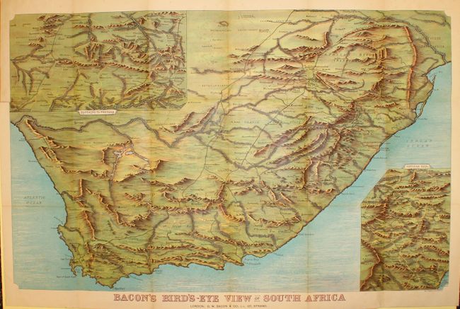
MapMaker: |
George Washington Bacon & Company
|
|
| |
| |
Subject: |
South Africa |
|
| |
Period/Size: |
1899 / 25.0" x 38.0" (63.5 x 96.6 cm)
|
|
| |
Color: |
Colored
|
|
| |
Condition: |
(B+ ) There is light toning along a few folds, a number of splits at fold intersections, and a fold separation at left that enters 3" into the map image. Paper covers are lightly worn. (condition help) |
|
| |
Source: |
|
|
| |
References: |
|
|
| |
|
|
| Sales Information |
| |
| |
Price: |
|
|
| |
| |
Offered by: |
Old World Auctions |
|
| |
Catalog: |
Auction No. 142 - Antique Maps, Charts, Atlases & Globes (9038) |
|
| |
Lot/Item #: |
679 |
|
| |
| |
Date: |
12/2012
|
|
| |
| |
|