| Item Detail |
| |
| |
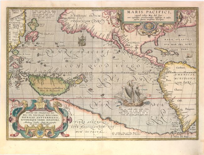
MapMaker: |
Abraham Ortelius
|
|
| |
| |
Subject: |
Pacific Ocean |
|
| |
Period/Size: |
1589 / 13.5" x 19.5" (34.3 x 49.6 cm)
|
|
| |
Color: |
Colored
|
|
| |
Condition: |
(B+ ) The map has been professionally cleaned with a tear that extends 3" into map adjacent to the equator and a centerfold separation at bottom extending 1.5" into the map, both of which have been almost invisibly repaired. A number of chips and tears (condition help) |
|
| |
Source: |
Theatrum Orbis Terrarum |
|
| |
References: |
Burden #74; Cohen, p. 31-33; Goss (NA) #14; Wheat (TMW) #24; van den Broecke #12; Suarez, p. 46, 65. |
|
| |
|
|
| Sales Information |
| |
| |
Price: |
|
|
| |
| |
Offered by: |
Old World Auctions |
|
| |
Catalog: |
Auction No. 142 - Antique Maps, Charts, Atlases & Globes (9038) |
|
| |
Lot/Item #: |
695 |
|
| |
| |
Date: |
12/2012
|
|
| |
| |
|