Title:
“A General Atlas, Containing Maps Illustrating Some Important Periods in Ancient History; and Distinct Maps of the Several Empires, Kingdoms and States in the World...”
Map Maker:
James Wyld
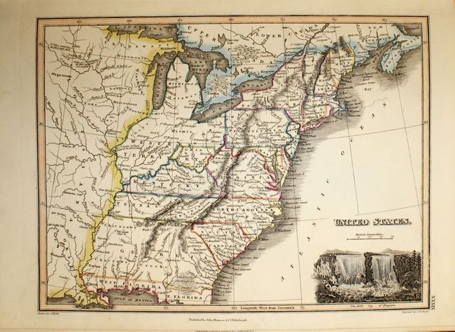
This complete atlas contains 44 maps (two of which... (full text available to subscribers)
| Item Detail |
| |
| |
MapMaker: |
James Wyld
|
|
| |
| |
Subject: |
Atlases |
|
| |
Period/Size: |
1827 / 14.5" x 11.0" (36.9 x 28.0 cm)
|
|
| |
Color: |
Colored
|
|
| |
Condition: |
(B ) Original color. The majority of the maps are clean and bright in near fine condition. About a dozen maps are in very good condition with light soiling and offsetting. Two maps are in good condition, with the map of England and Wales moderately t (condition help) |
|
| |
Source: |
|
|
| |
References: |
|
|
| |
|
|
| Sales Information |
| |
| |
Price: |
|
|
| |
| |
Offered by: |
Old World Auctions |
|
| |
Catalog: |
Auction No. 142 - Antique Maps, Charts, Atlases & Globes (9038) |
|
| |
Lot/Item #: |
755 |
|
| |
| |
Date: |
12/2012
|
|
| |
| |
|
Antique Maps - Valuation and Pricing, Descriptions, Resources |
|
Home |
Information |
Search |
Register |
Contact Us |
Site Map
Americana Exchange, Inc. © 1999 - 2024 Americana Exchange, Inc.. All rights reserved.
OldMaps.com, the OldMaps.com logo and
AMPR are service marks or registered service marks of Americana Exchange, Inc..
|