| Item Detail |
| |
| |
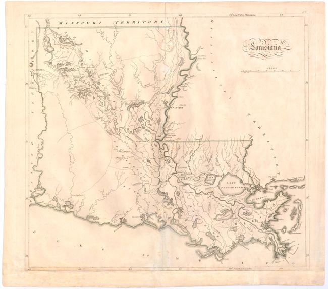
MapMaker: |
Mathew Carey
|
|
| |
| |
Subject: |
Louisiana |
|
| |
Period/Size: |
1814 / 15.8" x 17.3" (40.2 x 44.0 cm)
|
|
| |
Color: |
Colored
|
|
| |
Condition: |
(B) Light soiling with archival repairs to a couple of separations along the centerfold and to a small tear in an unengraved area of map adjacent to centerfold at bottom. Remargined at bottom to accommodate framing. (condition help) |
|
| |
Source: |
General Atlas |
|
| |
References: |
Lemmon, Magill & Wiese #74. |
|
| |
|
|
| Sales Information |
| |
| |
Price: |
|
|
| |
| |
Offered by: |
Old World Auctions |
|
| |
Catalog: |
Auction No. 143 - Antique Maps, Charts, Atlases & Globes (9042) |
|
| |
Lot/Item #: |
251 |
|
| |
| |
Date: |
02/2013
|
|
| |
| |
|