Title:
“Mitchell's School Atlas: Comprising the Maps, Etc., Designed to Illustrate Mitchell's School and Family Geography…”
Map Maker:
Thomas, Cowperthwait & Co.
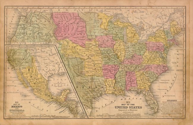
Mitchell's famous school atlas is complete with 28... (full text available to subscribers)
| Item Detail |
| |
| |
MapMaker: |
Thomas, Cowperthwait & Co.
|
|
| |
| |
Subject: |
Atlases |
|
| |
Period/Size: |
1846 / 12.0" x 9.8" (30.5 x 24.9 cm)
|
|
| |
Color: |
Colored
|
|
| |
Condition: |
(C+) Maps have original color and are generally fair to good with toning, light soiling, and some damp staining along the right side in the back half of the atlas. The maps of South America (No. 17) and Germany (No. 20) have some ink notations in the ima (condition help) |
|
| |
Source: |
|
|
| |
References: |
|
|
| |
|
|
| Sales Information |
| |
| |
Price: |
|
|
| |
| |
Offered by: |
Old World Auctions |
|
| |
Catalog: |
Auction No. 143 - Antique Maps, Charts, Atlases & Globes (9042) |
|
| |
Lot/Item #: |
833 |
|
| |
| |
Date: |
02/2013
|
|
| |
| |
|
Antique Maps - Valuation and Pricing, Descriptions, Resources |
|
Home |
Information |
Search |
Register |
Contact Us |
Site Map
Americana Exchange, Inc. © 1999 - 2024 Americana Exchange, Inc.. All rights reserved.
OldMaps.com, the OldMaps.com logo and
AMPR are service marks or registered service marks of Americana Exchange, Inc..
|