Title:
“Mitchell's New General Atlas, Containing Maps of the Various Counties of the World, Plans of Cities, Etc…”
Map Maker:
Mitchell/Bradley
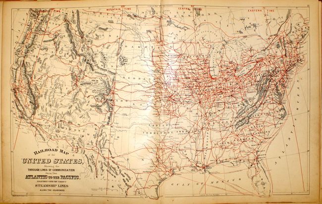
Complete with 147 maps and plans on 67 sheets, tog... (full text available to subscribers)
| Item Detail |
| |
| |
MapMaker: |
Mitchell/Bradley
|
|
| |
| |
Subject: |
Atlases |
|
| |
Period/Size: |
1887 / 16.0" x 13.4" (40.7 x 34.1 cm)
|
|
| |
Color: |
Colored
|
|
| |
Condition: |
(B) The maps are generally very good (B+) with light, even toning throughout and scattered foxing in the first few sheets, including the world map. Covers are rough and no longer attached to binding, and spine is perished (C). A nice set of maps that w (condition help) |
|
| |
Source: |
|
|
| |
References: |
|
|
| |
|
|
| Sales Information |
| |
| |
Price: |
|
|
| |
| |
Offered by: |
Old World Auctions |
|
| |
Catalog: |
Auction No. 143 - Antique Maps, Charts, Atlases & Globes (9042) |
|
| |
Lot/Item #: |
840 |
|
| |
| |
Date: |
02/2013
|
|
| |
| |
|
Antique Maps - Valuation and Pricing, Descriptions, Resources |
|
Home |
Information |
Search |
Register |
Contact Us |
Site Map
Americana Exchange, Inc. © 1999 - 2024 Americana Exchange, Inc.. All rights reserved.
OldMaps.com, the OldMaps.com logo and
AMPR are service marks or registered service marks of Americana Exchange, Inc..
|