| Item Detail |
| |
| |
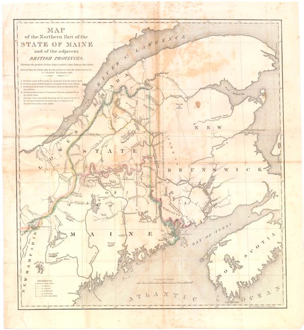
MapMaker: |
S.L. Dashiell
|
|
| |
| |
Subject: |
Maine |
|
| |
Period/Size: |
1830 / 16.5" x 15.3" (42.0 x 38.9 cm)
|
|
| |
Color: |
Colored
|
|
| |
Condition: |
(C+) Issued folded, now pressed flat with foxing and toning primarily along the folds. There are a number of small fold separations as well as a couple of tiny holes repaired on verso with paper tape. (condition help) |
|
| |
Source: |
SD 431., 25th Cong., 2d Sess. |
|
| |
References: |
|
|
| |
|
|
| Sales Information |
| |
| |
Price: |
|
|
| |
| |
Offered by: |
Old World Auctions |
|
| |
Catalog: |
Auction No. 143 - Antique Maps, Charts, Atlases & Globes (9042) |
|
| |
Lot/Item #: |
253 |
|
| |
| |
Date: |
02/2013
|
|
| |
| |
|