| Item Detail |
| |
| |
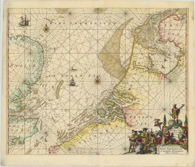
MapMaker: |
Renard/De Wit
|
|
| |
| |
Subject: |
North Sea |
|
| |
Period/Size: |
1715 / 18.2" x 22.5" (46.3 x 57.2 cm)
|
|
| |
Color: |
Colored
|
|
| |
Condition: |
(B) A nice impression with attractive color and a number of small worm holes along centerfold and in blank margins that have been professionally repaired with image replaced in facsimile and minor loss of image in some areas. (condition help) |
|
| |
Source: |
Atlas de la Navigation et du Commerce |
|
| |
References: |
Shirley (BL Atlases) M.Ren-1a. |
|
| |
|
|
| Sales Information |
| |
| |
Price: |
|
|
| |
| |
Offered by: |
Old World Auctions |
|
| |
Catalog: |
Auction No. 143 - Antique Maps, Charts, Atlases & Globes (9042) |
|
| |
Lot/Item #: |
470 |
|
| |
| |
Date: |
02/2013
|
|
| |
| |
|