| Item Detail |
| |
| |
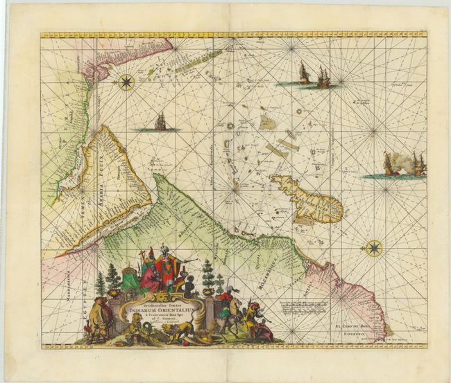
MapMaker: |
Renard/De Wit
|
|
| |
| |
Subject: |
Indian Ocean |
|
| |
Period/Size: |
1715 / 17.4" x 21.1" (44.2 x 53.6 cm)
|
|
| |
Color: |
Colored
|
|
| |
Condition: |
(B+) A nice impression with minor soiling and some professionally repaired worm holes along the centerfold with image replaced in facsimile. There is one damp stain in left blank margin, far from map image. (condition help) |
|
| |
Source: |
Atlas de la Navigation et du Commerce |
|
| |
References: |
cf Norwich #256; cf Tibbetts, G.R. #129. |
|
| |
|
|
| Sales Information |
| |
| |
Price: |
|
|
| |
| |
Offered by: |
Old World Auctions |
|
| |
Catalog: |
Auction No. 143 - Antique Maps, Charts, Atlases & Globes (9042) |
|
| |
Lot/Item #: |
741 |
|
| |
| |
Date: |
02/2013
|
|
| |
| |
|