| Item Detail |
| |
| |
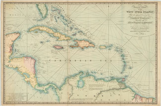
MapMaker: |
John Purdy
|
|
| |
| |
Subject: |
Gulf of Mexico & Caribbean |
|
| |
Period/Size: |
1827 / 24.8" x 37.3" (63.0 x 94.8 cm)
|
|
| |
Color: |
Colored
|
|
| |
Condition: |
(B+) There is light toning along folds, minor soiling, and a few creases. There are archival repairs to a few short fold separations and some short tears in blank margins that enter up to 1" into map. Overall very nice condition for a chart of this size (condition help) |
|
| |
Source: |
|
|
| |
References: |
|
|
| |
|
|
| Sales Information |
| |
| |
Price: |
|
|
| |
| |
Offered by: |
Old World Auctions |
|
| |
Catalog: |
Auction No. 143 - Antique Maps, Charts, Atlases & Globes (9042) |
|
| |
Lot/Item #: |
331 |
|
| |
| |
Date: |
02/2013
|
|
| |
| |
|