| Item Detail |
| |
| |
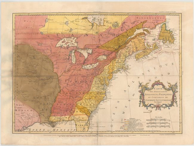
MapMaker: |
Jean Palairet
|
|
| |
| |
Subject: |
Colonial United States & Canada |
|
| |
Period/Size: |
1756 / 16.7" x 22.5" (42.5 x 57.2 cm)
|
|
| |
Color: |
Colored
|
|
| |
Condition: |
(C+) A nice impression on watermarked paper with light soiling and an archivally repaired centerfold separation that enters 2" into map at bottom. There are a number of small cracks caused by the oxidation of the original green pigment that have all been (condition help) |
|
| |
Source: |
|
|
| |
References: |
McCorkle #755-22; Sellers and Van Ee #56; Tooley (America), p. 62 #18-c. |
|
| |
|
|
| Sales Information |
| |
| |
Price: |
|
|
| |
| |
Offered by: |
Old World Auctions |
|
| |
Catalog: |
Auction No. 143 - Antique Maps, Charts, Atlases & Globes (9042) |
|
| |
Lot/Item #: |
154 |
|
| |
| |
Date: |
02/2013
|
|
| |
| |
|