| Item Detail |
| |
| |
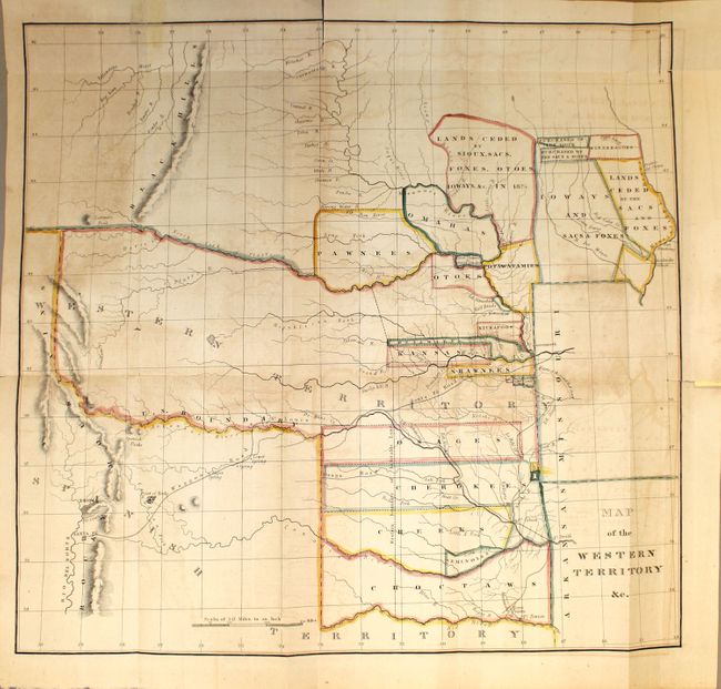
MapMaker: |
Washington Hood
|
|
| |
| |
Subject: |
Central United States |
|
| |
Period/Size: |
1833 / 17.0" x 17.7" (43.2 x 45.0 cm)
|
|
| |
Color: |
Colored
|
|
| |
Condition: |
(B) Moderate offsetting and toning, two fold separations at top that extend about 1.3" into the map image, and two edge tears at top that have been closed on recto with archival tape. (condition help) |
|
| |
Source: |
HR Report 474, 23rd Congress. 1st Session |
|
| |
References: |
Wheat (TMW) #405. |
|
| |
|
|
| Sales Information |
| |
| |
Price: |
|
|
| |
| |
Offered by: |
Old World Auctions |
|
| |
Catalog: |
Auction No. 143 - Antique Maps, Charts, Atlases & Globes (9042) |
|
| |
Lot/Item #: |
211 |
|
| |
| |
Date: |
02/2013
|
|
| |
| |
|