| Item Detail |
| |
| |
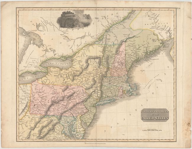
MapMaker: |
John Thomson [& Co.]
|
|
| |
| |
Subject: |
New England & Mid-Atlantic |
|
| |
Period/Size: |
1817 / 19.5" x 23.5" (49.6 x 59.7 cm)
|
|
| |
Color: |
Colored
|
|
| |
Condition: |
(B) Original color with light offsetting, a few tiny spots, and minor extraneous creases at the top corners of the map image. There is a damp stain in right blank margin, far from map, with additional old paper pasted over the damp stain on recto. (condition help) |
|
| |
Source: |
New General Atlas |
|
| |
References: |
|
|
| |
|
|
| Sales Information |
| |
| |
Price: |
|
|
| |
| |
Offered by: |
Old World Auctions |
|
| |
Catalog: |
Auction No. 143 - Antique Maps, Charts, Atlases & Globes (9042) |
|
| |
Lot/Item #: |
190 |
|
| |
| |
Date: |
02/2013
|
|
| |
| |
|