| Item Detail |
| |
| |
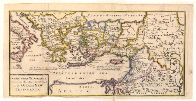
MapMaker: |
Herman Moll
|
|
| |
| |
Subject: |
Eastern Mediterranean & Middle East |
|
| |
Period/Size: |
1720 / 6.2" x 12.8" (15.8 x 32.6 cm)
|
|
| |
Color: |
Colored
|
|
| |
Condition: |
(B+) Issued folding, now pressed on watermarked paper with faint toning and minor soiling. The bottom margin has been trimmed near neatline, resulting in slight loss of neatline in one area. Backed in Japanese tissue to repair a fold separation and a te (condition help) |
|
| |
Source: |
Geographia Classica: The Geography of the Ancientsģ |
|
| |
References: |
|
|
| |
|
|
| Sales Information |
| |
| |
Price: |
|
|
| |
| |
Offered by: |
Old World Auctions |
|
| |
Catalog: |
Auction No. 143 - Antique Maps, Charts, Atlases & Globes (9042) |
|
| |
Lot/Item #: |
639 |
|
| |
| |
Date: |
02/2013
|
|
| |
| |
|