| Item Detail |
| |
| |
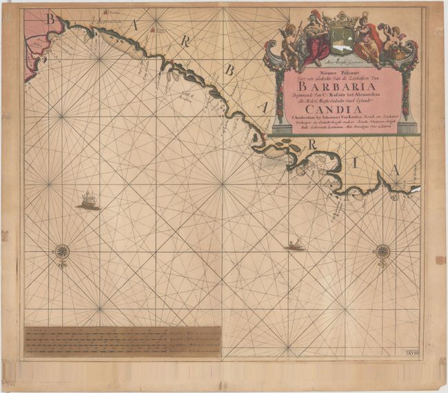
MapMaker: |
Johannes van Keulen
|
|
| |
| |
Subject: |
Northern Africa |
|
| |
Period/Size: |
1682 / 19.8" x 22.5" (50.3 x 57.2 cm)
|
|
| |
Color: |
Colored
|
|
| |
Condition: |
(C) Original color with light toning, several small chips in the coat of arms above the title cartouche, a chip in the coastline at right, and several cracks in the distance scales due to the oxidation of green pigment. (condition help) |
|
| |
Source: |
|
|
| |
References: |
|
|
| |
|
|
| Sales Information |
| |
| |
Price: |
|
|
| |
| |
Offered by: |
Old World Auctions |
|
| |
Catalog: |
Auction No. 143 - Antique Maps, Charts, Atlases & Globes (9042) |
|
| |
Lot/Item #: |
757 |
|
| |
| |
Date: |
02/2013
|
|
| |
| |
|