| Item Detail |
| |
| |
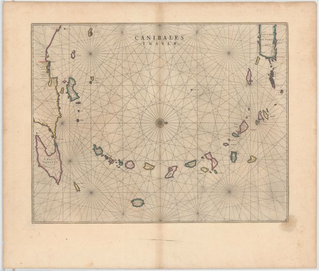
MapMaker: |
Johannes Blaeu
|
|
| |
| |
Subject: |
Lesser Antilles |
|
| |
Period/Size: |
1662 / 16.5" x 21.0" (42.0 x 53.4 cm)
|
|
| |
Color: |
Colored
|
|
| |
Condition: |
(B+) Watermarked paper with light centerfold toning, a small damp stain in the lower right corner, and some printer's ink residue. (condition help) |
|
| |
Source: |
Atlas Maior sive Geographia |
|
| |
References: |
Goss (Blaeu) p. 162. |
|
| |
|
|
| Sales Information |
| |
| |
Price: |
|
|
| |
| |
Offered by: |
Old World Auctions |
|
| |
Catalog: |
Auction No. 143 - Antique Maps, Charts, Atlases & Globes (9042) |
|
| |
Lot/Item #: |
346 |
|
| |
| |
Date: |
02/2013
|
|
| |
| |
|