| Item Detail |
| |
| |
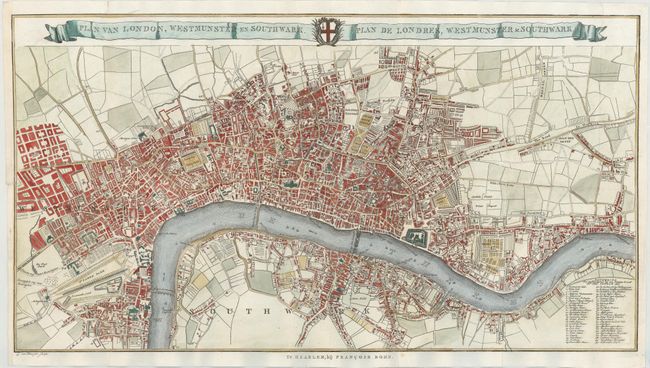
MapMaker: |
Francois Bohn
|
|
| |
| |
Subject: |
London, England |
|
| |
Period/Size: |
1765 / 13.6" x 25.3" (34.6 x 64.3 cm)
|
|
| |
Color: |
Colored
|
|
| |
Condition: |
(A) Issued folding, now pressed, on watermarked paper with a binding trim at left that has been replaced with old paper and a short binding tear that has been archivally repaired. (condition help) |
|
| |
Source: |
|
|
| |
References: |
Howgego #136 |
|
| |
|
|
| Sales Information |
| |
| |
Price: |
|
|
| |
| |
Offered by: |
Old World Auctions |
|
| |
Catalog: |
Auction No. 143 - Antique Maps, Charts, Atlases & Globes (9042) |
|
| |
Lot/Item #: |
443 |
|
| |
| |
Date: |
02/2013
|
|
| |
| |
|