| Item Detail |
| |
| |
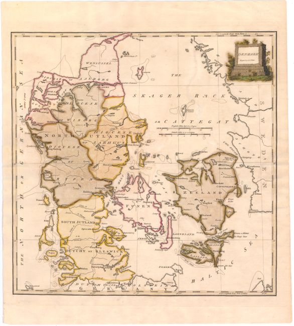
MapMaker: |
Samuel John Neele
|
|
| |
| |
Subject: |
Denmark |
|
| |
Period/Size: |
1790 / 14.7" x 14.7" (37.4 x 37.4 cm)
|
|
| |
Color: |
Colored
|
|
| |
Condition: |
(C+) Original color on watermarked paper with light soiling and several cracks caused by the oxidation of the green pigment that have been closed on verso with archival tape. There is a tear that enters 1" into map at left that has also been archivally r (condition help) |
|
| |
Source: |
|
|
| |
References: |
|
|
| |
|
|
| Sales Information |
| |
| |
Price: |
|
|
| |
| |
Offered by: |
Old World Auctions |
|
| |
Catalog: |
Auction No. 144 - Antique Maps, Charts, Atlases & Globes (9203) |
|
| |
Lot/Item #: |
169 |
|
| |
| |
Date: |
04/2013
|
|
| |
| |
|