| Item Detail |
| |
| |
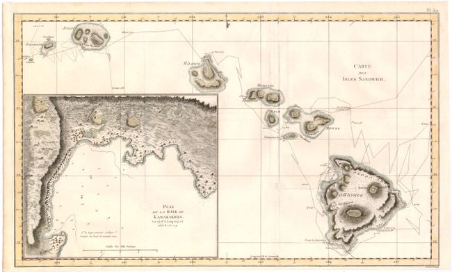
MapMaker: |
James Cook
|
|
| |
| |
Subject: |
Hawaii |
|
| |
Period/Size: |
1784 / 11.0" x 18.3" (28.0 x 46.5 cm)
|
|
| |
Color: |
Colored
|
|
| |
Condition: |
(B+) Issued folding and now flattened on watermarked paper with a few minor spots in the image. The left side of the sheet has been remargined due to binding trim. Several folds have been reinforced on verso with archival tape. (condition help) |
|
| |
Source: |
Troisieme Voyage de Cook, ou Voyage a l'Ocean Pacifique… |
|
| |
References: |
Shirley (BL Atlases) G.COOK-4a #16; cf Fitzpatrick, pp. 15-18, plt. 2. |
|
| |
|
|
| Sales Information |
| |
| |
Price: |
|
|
| |
| |
Offered by: |
Old World Auctions |
|
| |
Catalog: |
Auction No. 144 - Antique Maps, Charts, Atlases & Globes (9203) |
|
| |
Lot/Item #: |
86 |
|
| |
| |
Date: |
04/2013
|
|
| |
| |
|