| Item Detail |
| |
| |
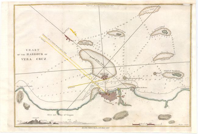
MapMaker: |
Blunt [Family]
|
|
| |
| |
Subject: |
Vera Cruz, Mexico |
|
| |
Period/Size: |
1827 / 8.0" x 11.3" (20.4 x 28.7 cm)
|
|
| |
Color: |
Colored
|
|
| |
Condition: |
(B) Top margin has been trimmed just into the neatline at upper right and repaired with old paper, with minor loss of neatline. The right margin has also been extended with old paper. Faint offsetting. (condition help) |
|
| |
Source: |
American Coast Pilot |
|
| |
References: |
|
|
| |
|
|
| Sales Information |
| |
| |
Price: |
|
|
| |
| |
Offered by: |
Old World Auctions |
|
| |
Catalog: |
Auction No. 144 - Antique Maps, Charts, Atlases & Globes (9203) |
|
| |
Lot/Item #: |
103 |
|
| |
| |
Date: |
04/2013
|
|
| |
| |
|