| Item Detail |
| |
| |
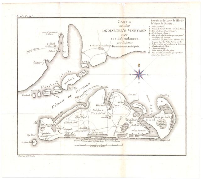
MapMaker: |
Michel Guillaume St. Jean de Crevecoeur
|
|
| |
| |
Subject: |
Martha's Vineyard, Massachusetts |
|
| |
Period/Size: |
1787 / 8.3" x 10.3" (21.1 x 26.2 cm)
|
|
| |
Color: |
Black & White
|
|
| |
Condition: |
(B+) Issued folding on watermarked paper with a 2.5" edge tear at right that has been repaired on verso with archival material. Faint offsetting and toning along one fold. Compass rose is hand colored. (condition help) |
|
| |
Source: |
Lettres d'un Cultivateur Americain |
|
| |
References: |
Phillips (M) p. 389; Howes #C883 |
|
| |
|
|
| Sales Information |
| |
| |
Price: |
|
|
| |
| |
Offered by: |
Old World Auctions |
|
| |
Catalog: |
Auction No. 144 - Antique Maps, Charts, Atlases & Globes (9203) |
|
| |
Lot/Item #: |
94 |
|
| |
| |
Date: |
04/2013
|
|
| |
| |
|