| Item Detail |
| |
| |
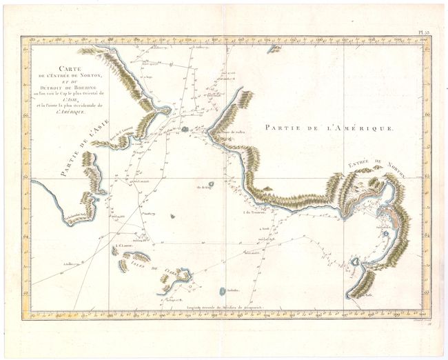
MapMaker: |
Cook/Benard
|
|
| |
| |
Subject: |
North Pacific Ocean |
|
| |
Period/Size: |
1785 / 10.4" x 15.3" (26.5 x 38.9 cm)
|
|
| |
Color: |
Colored
|
|
| |
Condition: |
(B) Issued folding on watermarked paper with light offsetting, a few faint stains, and an archivally repaired centerfold separation at top that extends 1" into the map image. (condition help) |
|
| |
Source: |
Troisieme Voyage de Cook, ou Voyage a l'Ocean Pacifique… |
|
| |
References: |
Shirley (BL Atlases) G.COOK-4a #15. |
|
| |
|
|
| Sales Information |
| |
| |
Price: |
|
|
| |
| |
Offered by: |
Old World Auctions |
|
| |
Catalog: |
Auction No. 144 - Antique Maps, Charts, Atlases & Globes (9203) |
|
| |
Lot/Item #: |
270 |
|
| |
| |
Date: |
04/2013
|
|
| |
| |
|