| Item Detail |
| |
| |
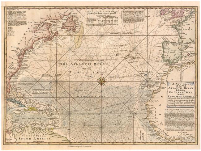
MapMaker: |
Emanuel Bowen
|
|
| |
| |
Subject: |
Atlantic Ocean |
|
| |
Period/Size: |
1740 / 12.0" x 16.8" (30.5 x 42.7 cm)
|
|
| |
Color: |
Colored
|
|
| |
Condition: |
(B+) Issued folding, now pressed, with very light toning and professional repairs to a binding trim at bottom left and associated binding tear that enters 1/2" into map. Remargined at top with old paper. There is a tiny tear in an unengraved area of nor (condition help) |
|
| |
Source: |
London Magazine |
|
| |
References: |
Jolly #LOND-7. |
|
| |
|
|
| Sales Information |
| |
| |
Price: |
|
|
| |
| |
Offered by: |
Old World Auctions |
|
| |
Catalog: |
Auction No. 144 - Antique Maps, Charts, Atlases & Globes (9203) |
|
| |
Lot/Item #: |
140 |
|
| |
| |
Date: |
04/2013
|
|
| |
| |
|