Title:
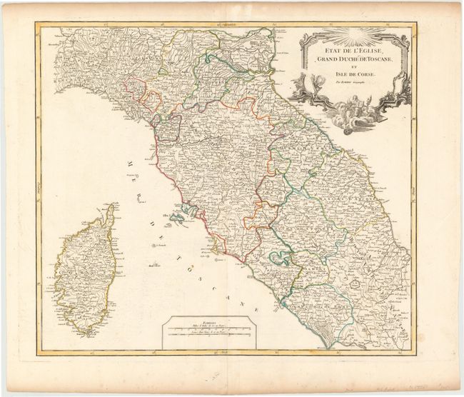
“Etat de l'Eglise, Grand Duche de Toscane, et Isle de Corse”
Map Maker:
Gilles Robert de Vaugondy
This lovely map covers Tuscany, the Papal States a... (full text available to subscribers)
| Item Detail |
| |
| |
MapMaker: |
Gilles Robert de Vaugondy
|
|
| |
| |
Subject: |
Central Italy & Corsica |
|
| |
Period/Size: |
1755 / 19.0" x 21.8" (48.3 x 55.4 cm)
|
|
| |
Color: |
Colored
|
|
| |
Condition: |
(A) Original color on watermarked paper with wide margins and a couple of very minor spots in image. (condition help) |
|
| |
Source: |
Atlas Universel |
|
| |
References: |
Pedley #356. |
|
| |
|
|
| Sales Information |
| |
| |
Price: |
|
|
| |
| |
Offered by: |
Old World Auctions |
|
| |
Catalog: |
Auction No. 144 - Antique Maps, Charts, Atlases & Globes (9203) |
|
| |
Lot/Item #: |
196 |
|
| |
| |
Date: |
04/2013
|
|
| |
| |
|
Antique Maps - Valuation and Pricing, Descriptions, Resources |
|
Home |
Information |
Search |
Register |
Contact Us |
Site Map
Americana Exchange, Inc. © 1999 - 2024 Americana Exchange, Inc.. All rights reserved.
OldMaps.com, the OldMaps.com logo and
AMPR are service marks or registered service marks of Americana Exchange, Inc..
|