| Item Detail |
| |
| |
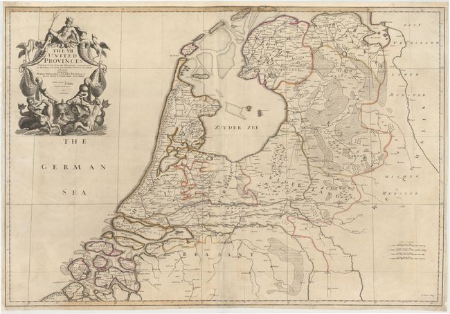
MapMaker: |
John Senex
|
|
| |
| |
Subject: |
Netherlands |
|
| |
Period/Size: |
1709 / 25.3" x 37.2" (64.3 x 94.5 cm)
|
|
| |
Color: |
Colored
|
|
| |
Condition: |
(B) A nice impression with original color, light soiling, and several printer's creases that have been pressed and archivally reinforced. There are a few tears that enter 1/2" to 2" into map that have been archivally repaired. (condition help) |
|
| |
Source: |
The English Atlas |
|
| |
References: |
Shirley (BL Atlases) T.SEN-1c, #13. |
|
| |
|
|
| Sales Information |
| |
| |
Price: |
|
|
| |
| |
Offered by: |
Old World Auctions |
|
| |
Catalog: |
Auction No. 144 - Antique Maps, Charts, Atlases & Globes (9203) |
|
| |
Lot/Item #: |
170 |
|
| |
| |
Date: |
04/2013
|
|
| |
| |
|