| Item Detail |
| |
| |
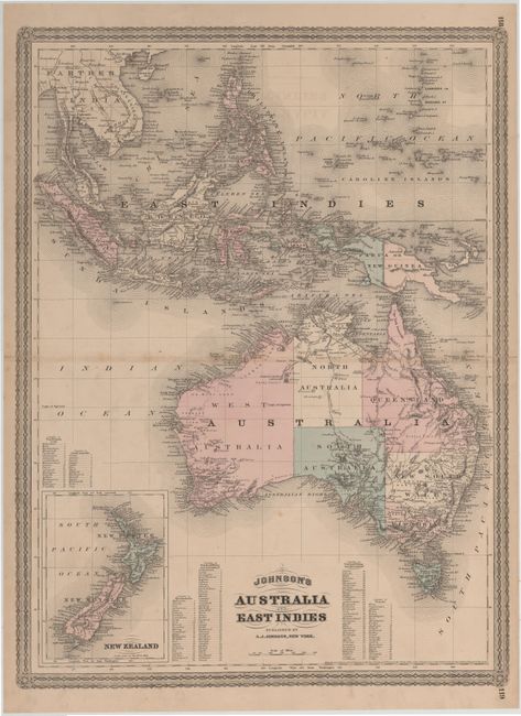
MapMaker: |
Alvin Jewitt Johnson [& Co.]
|
|
| |
| |
Subject: |
Australia & East Indies |
|
| |
Period/Size: |
1867 / 22.5" x 17.0" (57.2 x 43.2 cm)
|
|
| |
Color: |
Colored
|
|
| |
Condition: |
(B+) Original color with light toning along centerfold, a couple of spots of foxing, and centerfold separations that just enter map border that have been closed on verso with archival tape. (condition help) |
|
| |
Source: |
New Illustrated Family Atlas of the World |
|
| |
References: |
Tooley (Australia) p. 102 #754. |
|
| |
|
|
| Sales Information |
| |
| |
Price: |
|
|
| |
| |
Offered by: |
Old World Auctions |
|
| |
Catalog: |
Auction No. 144 - Antique Maps, Charts, Atlases & Globes (9203) |
|
| |
Lot/Item #: |
278 |
|
| |
| |
Date: |
04/2013
|
|
| |
| |
|