| Item Detail |
| |
| |
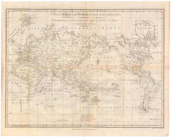
MapMaker: |
John Malham
|
|
| |
| |
Subject: |
World |
|
| |
Period/Size: |
1795 / 13.3" x 17.8" (33.8 x 45.3 cm)
|
|
| |
Color: |
Black & White
|
|
| |
Condition: |
(B) Issued folding, now flattened, with light toning along several folds and some short fold separations that have been archivally repaired. There is also some soiling and minor foxing. (condition help) |
|
| |
Source: |
Naval Gazetteer |
|
| |
References: |
McCorkle (Maps in 18th Century Geography Books) #251, Vol. I-1. |
|
| |
|
|
| Sales Information |
| |
| |
Price: |
|
|
| |
| |
Offered by: |
Old World Auctions |
|
| |
Catalog: |
Auction No. 144 - Antique Maps, Charts, Atlases & Globes (9203) |
|
| |
Lot/Item #: |
11 |
|
| |
| |
Date: |
04/2013
|
|
| |
| |
|