| Item Detail |
| |
| |
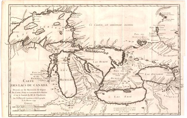
MapMaker: |
Jacques Nicolas Bellin
|
|
| |
| |
Subject: |
Colonial United States & Canada, Great Lakes |
|
| |
Period/Size: |
1744 / 11.2" x 17.2" (28.5 x 43.7 cm)
|
|
| |
Color: |
Black & White
|
|
| |
Condition: |
(B) Issued folding on watermarked paper with light offsetting, several tiny wormholes only visible when held to light, and trimmed to neatline at bottom. Binding trim at right with a small binding tear that just enters the border and has been closed on v (condition help) |
|
| |
Source: |
Histoire et Description Generale de la Nouvelle France |
|
| |
References: |
Kershaw #947; Tooley (MCC-96) #716; Karpinski p. 137. |
|
| |
|
|
| Sales Information |
| |
| |
Price: |
|
|
| |
| |
Offered by: |
Old World Auctions |
|
| |
Catalog: |
Auction No. 145 - Antique Maps, Charts, Atlases & Globes (9224) |
|
| |
Lot/Item #: |
127 |
|
| |
| |
Date: |
06/2013
|
|
| |
| |
|