| Item Detail |
| |
| |
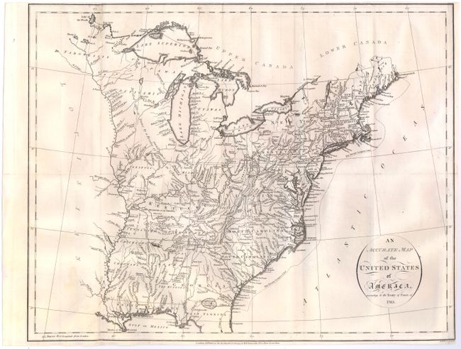
MapMaker: |
John Russell
|
|
| |
| |
Subject: |
Eastern United States |
|
| |
Period/Size: |
1794 / 14.4" x 18.3" (36.6 x 46.5 cm)
|
|
| |
Color: |
Black & White
|
|
| |
Condition: |
(B) Issued folding, now pressed, with a hint of offsetting, minor toning, and a few tiny separations and holes at fold intersections that have been archivally repaired. Two small holes at top left have been professionally repaired, with a small amount of (condition help) |
|
| |
Source: |
|
|
| |
References: |
|
|
| |
|
|
| Sales Information |
| |
| |
Price: |
|
|
| |
| |
Offered by: |
Old World Auctions |
|
| |
Catalog: |
Auction No. 145 - Antique Maps, Charts, Atlases & Globes (9224) |
|
| |
Lot/Item #: |
157 |
|
| |
| |
Date: |
06/2013
|
|
| |
| |
|