| Item Detail |
| |
| |
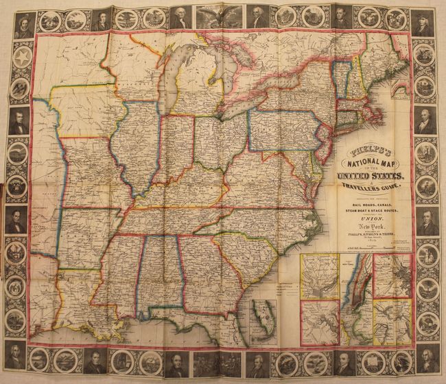
MapMaker: |
Phelps, Ensign & Thayer
|
|
| |
| |
Subject: |
Eastern United States |
|
| |
Period/Size: |
1847 / 17.9" x 21.7" (45.5 x 55.2 cm)
|
|
| |
Color: |
Colored
|
|
| |
Condition: |
(B) Issued folding with original color, light toning along the folds, a 1.2" tear in the image where the map was glued to the back cover, along with two adjacent 1" tears in the border. Spine has split in half with the index attached to the front cover, (condition help) |
|
| |
Source: |
|
|
| |
References: |
Howes #P291. |
|
| |
|
|
| Sales Information |
| |
| |
Price: |
|
|
| |
| |
Offered by: |
Old World Auctions |
|
| |
Catalog: |
Auction No. 145 - Antique Maps, Charts, Atlases & Globes (9224) |
|
| |
Lot/Item #: |
164 |
|
| |
| |
Date: |
06/2013
|
|
| |
| |
|