| Item Detail |
| |
| |
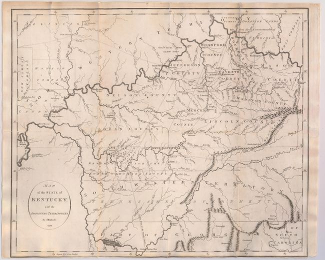
MapMaker: |
John Russell
|
|
| |
| |
Subject: |
Tennessee, Kentucky |
|
| |
Period/Size: |
1794 / 15.0" x 17.8" (38.1 x 45.3 cm)
|
|
| |
Color: |
Black & White
|
|
| |
Condition: |
(B) Issued folding with light offsetting and backed with tissue to reinforce and repair numerous separations along the folds. Trimmed to neatline at bottom. There is a binding trim at lower right with some loss of neatline, and an adjacent binding tear (condition help) |
|
| |
Source: |
An Historical...and Philosophical View of the United Statesģ |
|
| |
References: |
cf. Wheat & Brun #646. |
|
| |
|
|
| Sales Information |
| |
| |
Price: |
|
|
| |
| |
Offered by: |
Old World Auctions |
|
| |
Catalog: |
Auction No. 145 - Antique Maps, Charts, Atlases & Globes (9224) |
|
| |
Lot/Item #: |
202 |
|
| |
| |
Date: |
06/2013
|
|
| |
| |
|