Title:
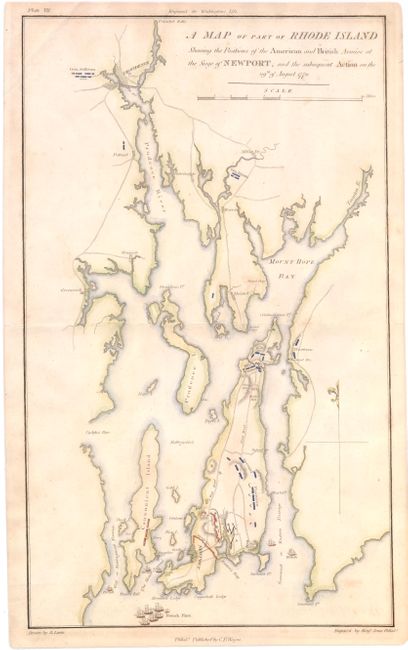
“A Map of Part of Rhode Island Shewing the Position of the American and British Armies at the Siege of Newport, and the Subsequent Action on the 29th of August 1778”
Map Maker:
Richard Phillips
A copper engraved Revolutionary War plan sh... (full text available to subscribers)
| Item Detail |
| |
| |
MapMaker: |
Richard Phillips
|
|
| |
| |
Subject: |
Rhode Island |
|
| |
Period/Size: |
1806 / 16.8" x 10.0" (42.7 x 25.4 cm)
|
|
| |
Color: |
Colored
|
|
| |
Condition: |
(B+) There are a few minor spots and an extraneous crease in the top left corner of the map image. (condition help) |
|
| |
Source: |
Marshall's Life of Washington |
|
| |
References: |
|
|
| |
|
|
| Sales Information |
| |
| |
Price: |
|
|
| |
| |
Offered by: |
Old World Auctions |
|
| |
Catalog: |
Auction No. 145 - Antique Maps, Charts, Atlases & Globes (9224) |
|
| |
Lot/Item #: |
291 |
|
| |
| |
Date: |
06/2013
|
|
| |
| |
|
Antique Maps - Valuation and Pricing, Descriptions, Resources |
|
Home |
Information |
Search |
Register |
Contact Us |
Site Map
Americana Exchange, Inc. © 1999 - 2024 Americana Exchange, Inc.. All rights reserved.
OldMaps.com, the OldMaps.com logo and
AMPR are service marks or registered service marks of Americana Exchange, Inc..
|