| Item Detail |
| |
| |
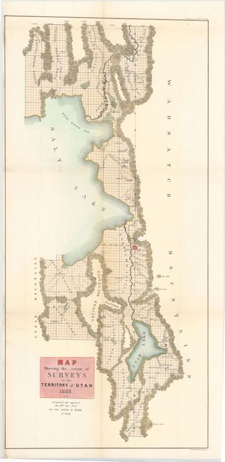
MapMaker: |
General Land Office
|
|
| |
| |
Subject: |
Utah |
|
| |
Period/Size: |
1856 / 32.7" x 15.5" (83.1 x 39.4 cm)
|
|
| |
Color: |
Colored
|
|
| |
Condition: |
(B+) Issued folding and now flattened with light toning. There are a few splits at fold intersections and a 2" edge tear all repaired on verso with archival material, with a tiny portion of the image in facsimile at top of map. (condition help) |
|
| |
Source: |
Sen Ex. Doc. No. 5, 34th Congress, 3rd Sess. |
|
| |
References: |
|
|
| |
|
|
| Sales Information |
| |
| |
Price: |
|
|
| |
| |
Offered by: |
Old World Auctions |
|
| |
Catalog: |
Auction No. 145 - Antique Maps, Charts, Atlases & Globes (9224) |
|
| |
Lot/Item #: |
304 |
|
| |
| |
Date: |
06/2013
|
|
| |
| |
|