| Item Detail |
| |
| |
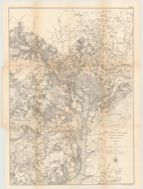
MapMaker: |
U.S. Army
|
|
| |
| |
Subject: |
Virginia and Washington D.C. |
|
| |
Period/Size: |
1865 / 23.7" x 16.8" (60.2 x 42.7 cm)
|
|
| |
Color: |
Colored
|
|
| |
Condition: |
(B) Issued folding with light toning along the folds and a few short fold separations that have been mostly closed on verso with archival materials. There is a binding trim and associated short binding tear at left which is closed on verso with old paper (condition help) |
|
| |
Source: |
Report of Chief Engineer U.S.A., 39th Congress, 1st Session |
|
| |
References: |
Stephenson (CW) #686. |
|
| |
|
|
| Sales Information |
| |
| |
Price: |
|
|
| |
| |
Offered by: |
Old World Auctions |
|
| |
Catalog: |
Auction No. 145 - Antique Maps, Charts, Atlases & Globes (9224) |
|
| |
Lot/Item #: |
307 |
|
| |
| |
Date: |
06/2013
|
|
| |
| |
|