| Item Detail |
| |
| |
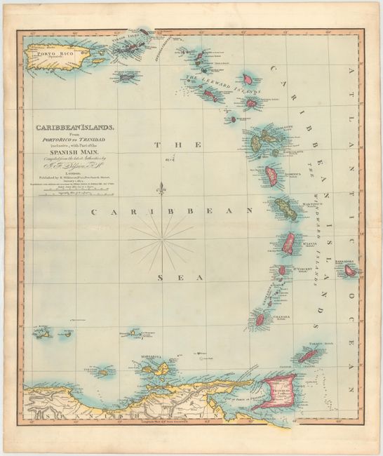
MapMaker: |
Robert Wilkinson
|
|
| |
| |
Subject: |
Lesser Antilles and Puerto Rico |
|
| |
Period/Size: |
1826 / 23.2" x 20.2" (59.0 x 51.3 cm)
|
|
| |
Color: |
Colored
|
|
| |
Condition: |
(B+) Nice original color on watermarked paper with a hint of toning along centerfold, minor offsetting, an archivally repaired centerfold separation that enters 1" into map at left, and a tiny hole in a blank area of map image. (condition help) |
|
| |
Source: |
General Atlas |
|
| |
References: |
|
|
| |
|
|
| Sales Information |
| |
| |
Price: |
|
|
| |
| |
Offered by: |
Old World Auctions |
|
| |
Catalog: |
Auction No. 145 - Antique Maps, Charts, Atlases & Globes (9224) |
|
| |
Lot/Item #: |
360 |
|
| |
| |
Date: |
06/2013
|
|
| |
| |
|