| Item Detail |
| |
| |
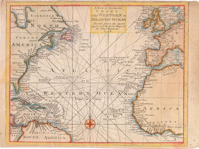
MapMaker: |
Thomas Bowen
|
|
| |
| |
Subject: |
Atlantic Ocean |
|
| |
Period/Size: |
1788 / 8.4" x 10.5" (21.4 x 26.7 cm)
|
|
| |
Color: |
Colored
|
|
| |
Condition: |
(B) Stains from cello tape that have since been removed. One short tear at top margin, extending 0.5" into map image, has been repaired with archival tape. Trimmed close to neatline at bottom and top, with loss of publisher's imprint at top. (condition help) |
|
| |
Source: |
Banke's New System of Geography |
|
| |
References: |
Shirley (BL Atlases) T.BANK-1A #9. |
|
| |
|
|
| Sales Information |
| |
| |
Price: |
|
|
| |
| |
Offered by: |
Old World Auctions |
|
| |
Catalog: |
Auction No. 145 - Antique Maps, Charts, Atlases & Globes (9224) |
|
| |
Lot/Item #: |
409 |
|
| |
| |
Date: |
06/2013
|
|
| |
| |
|