| Item Detail |
| |
| |
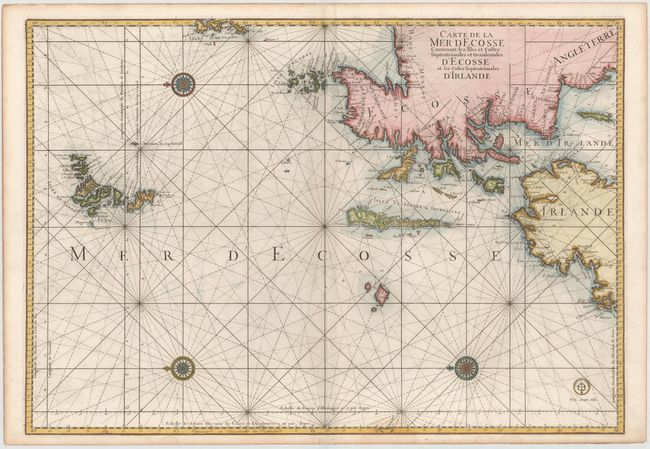
MapMaker: |
Jacques Nicolas Bellin
|
|
| |
| |
Subject: |
Northern Scotland and Ireland |
|
| |
Period/Size: |
1773 / 24.0" x 34.4" (61.0 x 87.4 cm)
|
|
| |
Color: |
Colored
|
|
| |
Condition: |
(B+) A dark impression on heavy, watermarked paper with light offsetting and soiling and one small abrasion at far left. (condition help) |
|
| |
Source: |
La Neptune Francois… |
|
| |
References: |
Pastoureau, NEPTUNE FRANCAIS D #9. |
|
| |
|
|
| Sales Information |
| |
| |
Price: |
|
|
| |
| |
Offered by: |
Old World Auctions |
|
| |
Catalog: |
Auction No. 145 - Antique Maps, Charts, Atlases & Globes (9224) |
|
| |
Lot/Item #: |
442 |
|
| |
| |
Date: |
06/2013
|
|
| |
| |
|