| Item Detail |
| |
| |
MapMaker: |
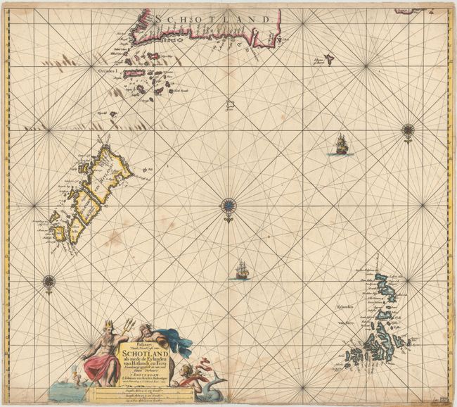
Johannes van Keulen
|
|
| |
| |
Subject: |
Northern Scotland with Orkney, Shetland and Faroe Islands |
|
| |
Period/Size: |
1680 / 20.2" x 23.1" (51.3 x 58.7 cm)
|
|
| |
Color: |
Colored
|
|
| |
Condition: |
(C+) A nice impression with attractive color, some soiling, a light damp stain at bottom, and show-through of old manuscript ink on verso. There are archival repairs to a 4.5" centerfold separation at bottom and a few small worm tracks adjacent to center (condition help) |
|
| |
Source: |
|
|
| |
References: |
Tooley (MCC-71) #394. |
|
| |
|
|
| Sales Information |
| |
| |
Price: |
|
|
| |
| |
Offered by: |
Old World Auctions |
|
| |
Catalog: |
Auction No. 145 - Antique Maps, Charts, Atlases & Globes (9224) |
|
| |
Lot/Item #: |
456 |
|
| |
| |
Date: |
06/2013
|
|
| |
| |
|