| Item Detail |
| |
| |
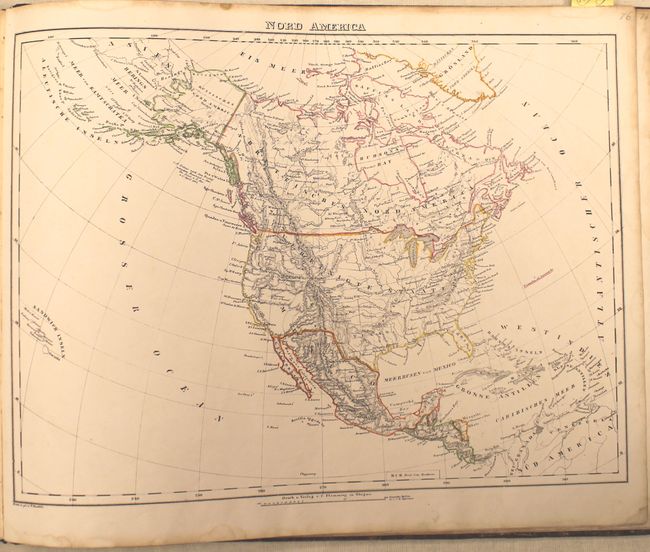
MapMaker: |
Berghaus
|
|
| |
| |
Subject: |
Atlases |
|
| |
Period/Size: |
1849 / 14.2" x 17.5" (36.1 x 44.5 cm)
|
|
| |
Color: |
Colored
|
|
| |
Condition: |
(B) The maps have original outline color and range from very good to fair with scattered foxing, toning along the top edge of the sheet, and occasional damp stains. The maps considered fair (due to foxing) are Posen, Italy, Russia and the West Indies. B (condition help) |
|
| |
Source: |
|
|
| |
References: |
Wheat (TMW) #745 & #748. |
|
| |
|
|
| Sales Information |
| |
| |
Price: |
|
|
| |
| |
Offered by: |
Old World Auctions |
|
| |
Catalog: |
Auction No. 145 - Antique Maps, Charts, Atlases & Globes (9224) |
|
| |
Lot/Item #: |
843 |
|
| |
| |
Date: |
06/2013
|
|
| |
| |
|