| Item Detail |
| |
| |
MapMaker: |
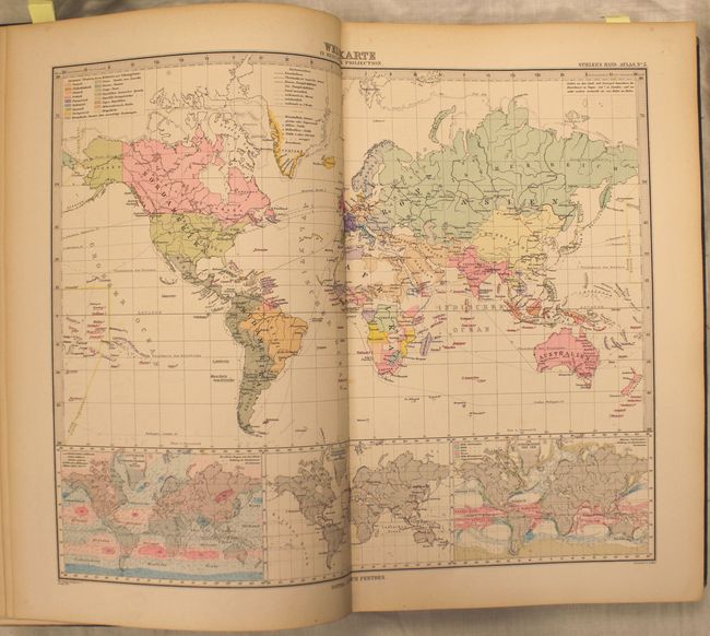
Perthes [Family and Companies]
|
|
| |
| |
Subject: |
Atlases |
|
| |
Period/Size: |
1894 / 15.0" x 11.0" (38.1 x 28.0 cm)
|
|
| |
Color: |
Colored
|
|
| |
Condition: |
(A) Maps are fine to very good with some light toning along the edges of the sheet and some isolated foxing primarily in the blank margins. There is a bit of light, scattered foxing in index. Contents are tight, the covers show minor wear, and the spine (condition help) |
|
| |
Source: |
|
|
| |
References: |
|
|
| |
|
|
| Sales Information |
| |
| |
Price: |
|
|
| |
| |
Offered by: |
Old World Auctions |
|
| |
Catalog: |
Auction No. 145 - Antique Maps, Charts, Atlases & Globes (9224) |
|
| |
Lot/Item #: |
857 |
|
| |
| |
Date: |
06/2013
|
|
| |
| |
|