| Item Detail |
| |
| |
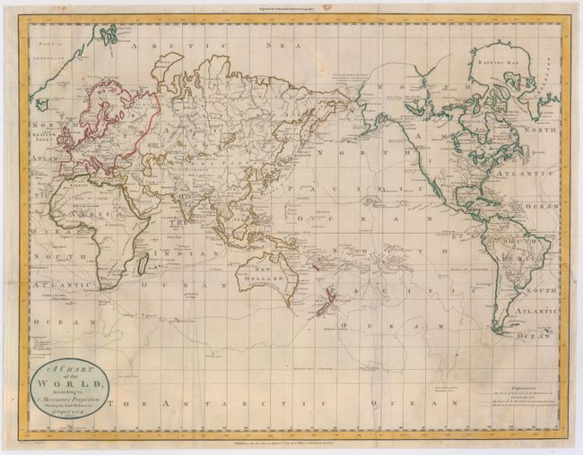
MapMaker: |
Dilly & Robinson
|
|
| |
| |
Subject: |
World |
|
| |
Period/Size: |
1785 / 14.6" x 18.9" (37.1 x 48.0 cm)
|
|
| |
Color: |
Colored
|
|
| |
Condition: |
(B) A nice impression in original color, issued folding, now pressed flat. There are a few minor creases that have been pressed, some minor soiling, and two professionally repaired tears, one extending 5" into map at bottom and the other 3.5" into map at (condition help) |
|
| |
Source: |
Guthries New System of Geography |
|
| |
References: |
|
|
| |
|
|
| Sales Information |
| |
| |
Price: |
|
|
| |
| |
Offered by: |
Old World Auctions |
|
| |
Catalog: |
Auction No. 146 - Antique Maps, Charts, Atlases & Globes (9225) |
|
| |
Lot/Item #: |
41 |
|
| |
| |
Date: |
09/2013
|
|
| |
| |
|