| Item Detail |
| |
| |
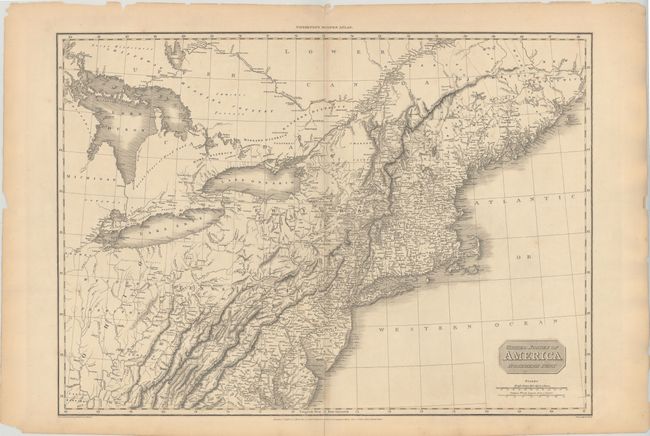
MapMaker: |
John Pinkerton
|
|
| |
| |
Subject: |
Eastern United States |
|
| |
Period/Size: |
1810 / 19.8" x 27.5" (50.3 x 69.9 cm)
|
|
| |
Color: |
Black & White
|
|
| |
Condition: |
(B+) There is a centerfold separation at bottom confined to the blank margin that is closed on verso with archival tape, and a number of small edge tears well away from the image that have also been closed on verso. Light toning along centerfold. (condition help) |
|
| |
Source: |
Modern Atlas |
|
| |
References: |
|
|
| |
|
|
| Sales Information |
| |
| |
Price: |
|
|
| |
| |
Offered by: |
Old World Auctions |
|
| |
Catalog: |
Auction No. 146 - Antique Maps, Charts, Atlases & Globes (9225) |
|
| |
Lot/Item #: |
152 |
|
| |
| |
Date: |
09/2013
|
|
| |
| |
|